Business Details
Expert Land Surveying Services in McMinnville, OR
TerraCalc Land Surveying was founded to bridge the technology gap between contractors and GPS/robotic guided earthmoving equipment. With over 90 years of combined experience in construction layout, boundary resolution, and topographic mapping, we specialize in delivering precise earthwork modeling, machine control applications, and customized quantity take-offs. Our team of licensed professionals utilizes advanced software like AGTEK Earthwork 4D, Autodesk Civil 3D, and Trimble Business Center to ensure accuracy in every project.Licensed in Oregon, Washington, and California, we prioritize education and employ only fully qualified individuals to maintain the highest standards of credibility and quality. Our commitment to leveraging cutting-edge technology, paired with decades of field experience, enables us to provide efficient, reliable solutions tailored to the unique needs of each client.

Services
Surveying
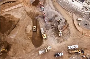
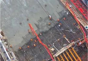
Sitework Estimates
Terrain Models
Survey Equipment
Highlights and features
- We offer 90+ years of combined experience in construction layout and topographic mapping.
- Our team uses advanced GPS and robotic surveying equipment for unmatched accuracy.
- We provide customized earthwork calculations for budgeting and construction phases.
- Our professionals are licensed in Oregon, Washington, and California.
- We deliver quick response times and machine control tech support for real-time updates.
Services
Surveying
TerraCalc provides traditional and technology-driven land surveying services, including boundary resolution, FEMA flood certifications, and construction layout. Our GPS and robotic equipment ensure precise measurements for residential, commercial, and infrastructure projects. With licensed professionals in three states, we deliver reliable data for site development and legal documentation.
Sitework Estimates
Our team quantifies materials for underground utilities, concrete work, and site improvements using advanced software. We create detailed 3D models to support accurate budgeting and construction planning. This service helps contractors optimize resources and avoid costly overages during project execution.
Terrain Models
We generate precise digital terrain models for machine control applications and construction layout. These models integrate with GPS-guided equipment to ensure accurate grading and earthwork. Our solutions reduce errors and improve efficiency for complex site development projects.
Survey Equipment
TerraCalc maintains state-of-the-art survey instruments, including Trimble robotic total stations and GPS receivers. We provide technical support for integrating these tools with construction machinery, ensuring seamless data flow between field crews and office teams for real-time updates.
People
K. Jay Pannell
President
Licensed in Oregon, Washington, and Idaho, Jay has 30 years of surveying experience and specializes in digital terrain modeling for GPS-guided earthmoving systems. He holds a B.S. in Geography from Oregon State University.
H. Gordy Stedman
Project Surveyor
Licensed in Oregon, Gordy brings 30 years of surveying expertise, focusing on machine control support for Trimble systems. He earned a B.S. in Geomatics from Oregon Institute of Technology and specializes in construction and boundary surveys.
Darren Harr
Project Surveyor
Licensed in four states, Darren has 30 years of experience in boundary surveys, ALTA standards, and subdivisions. He holds an Associate's degree in Civil Engineering Technology from Portland Community College.
Questions
What services does TerraCalc Land Surveying offer?
We provide land surveying, terrain modeling, sitework estimates, and survey equipment support using GPS and robotic technology for construction projects.
In which states are you licensed to operate?
We are licensed in Oregon, Washington, and California, serving clients across the Pacific Northwest and beyond.
What technology do you use for surveying?
We use Trimble S7 robotic total stations, R12i GPS receivers, and software like AGTEK Earthwork 4D and Autodesk Civil 3D.
How do you ensure accuracy in earthwork calculations?
Our 3D terrain models integrate with machine control systems to provide real-time data, minimizing errors during construction layout and grading.
Can you support large-scale infrastructure projects?
Yes, our team has experience in airports, roads, and residential developments, delivering precise measurements for complex site requirements.