Business Details
9 Years
experience
Expert Civil Engineering & Surveying Services in Michigan
Monument Engineering Group Associates is a Service Disabled Veteran Owned Small Business dedicated to delivering precision engineering and surveying solutions. Our team combines over 140 years of combined experience with cutting-edge technology, including drone-based data collection and GPS systems, to execute projects efficiently and accurately. We specialize in civil engineering, land surveying, seismic services, and federal contracting, serving commercial, residential, and government clients across Michigan and Colorado. Our commitment to innovation ensures clients receive cost-effective, high-quality results tailored to their specific needs. With a focus on safety and regulatory compliance, we provide comprehensive infrastructure design and site planning services.Our expertise extends to geotechnical engineering and landscape architecture, addressing complex project requirements. By leveraging advanced photogrammetry methods, we convert aerial data into actionable insights for survey-grade accuracy. Our professionals maintain deep familiarity with municipal, state, and federal regulations, ensuring legal compliance for all deliverables. We pride ourselves on transparent communication and timely project execution, supported by a track record of successful federal contracts. Our dedication to technological advancement positions us as a trusted partner for engineering and surveying challenges.
Services
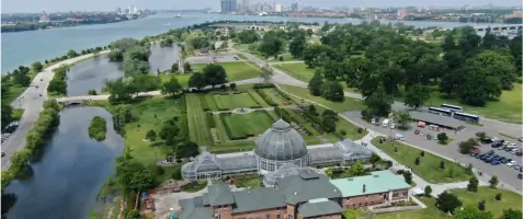
Aerial Services
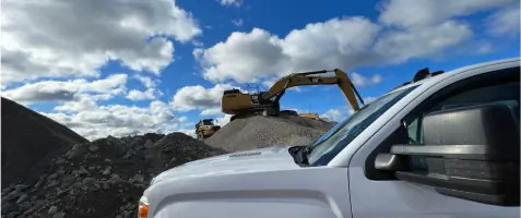
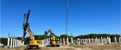
Civil Engineering
Land Surveying
Federal Contracting
Seismic Services
Geotechnical Engineering
Details
- Year established: 2017
Highlights and features
- We utilize cutting-edge drone and GPS technology for survey-grade accuracy.
- Our team has over 140 years of combined experience in engineering and surveying.
- We offer competitive pricing without compromising project quality.
- We specialize in federal contracting for VA, GSA, and federal properties.
- Our professionals are certified in seismic surveying up to 1,000-mile ranges.
Associations and certifications
- Service Disabled Veteran Owned Small Business
Services
Aerial Services
Our drone-based aerial services capture millions of data points with geo-referenced images, enabling safe, accurate surveying for infrastructure and land development projects. This technology reduces field time while maintaining survey-grade precision. Clients benefit from rapid data collection in challenging terrains.
Land Surveying
Using GPS and drone technology, we deliver comprehensive land surveying for property transactions, development, and legal documentation. Our team ensures compliance with municipal and state regulations. AutoCAD integration produces high-quality, cost-effective mapping solutions for commercial and residential clients.
Seismic Services
We conduct 2D/3D seismic surveys ranging from 1 to 1,000 miles, supporting oil and gas exploration. Our expertise identifies subsurface rock formations to locate energy reserves. This service combines field data with advanced analysis for accurate geological modeling.
Federal Contracting
Specializing in VA campuses, GSA properties, and federal facilities, our team navigates technical and regulatory requirements for government contracts. We coordinate stakeholder approvals and ensure compliance with federal construction standards for infrastructure projects.
Civil Engineering
From site planning to utility design, we provide end-to-end civil engineering for communities and developers. Our services address road networks, stormwater systems, and utility infrastructure. Projects integrate environmental considerations with functional urban planning requirements.
Questions
What geographic areas do you serve?
We operate primarily in Michigan and Eagle County, Colorado, with federal projects across the United States.
What technologies do you use for surveying?
Our toolkit includes drones, GPS systems, electronic data collectors, and AutoCAD for high-precision land mapping.
Are you certified for federal contracting?
Yes, we specialize in VA, GSA, and federal property contracts with regulatory compliance expertise.
How does your seismic surveying benefit clients?
Our 2D/3D seismic surveys up to 1,000 miles help energy companies identify subsurface oil and gas reserves accurately.
What experience does your team have?
Our professionals collectively hold 140+ years of engineering and surveying experience across diverse project types.
Videos