Business Details
38 Years
experience
Trusted Land Surveyors in West Palm Beach
Founded in 1988, Dean Surveying & Mapping has established itself as a leader in professional land surveying services for residential and commercial clients. Our extensive library of over 68,500 maps and plats dating back to 1944 reflects our deep-rooted expertise in Southeast Florida. We combine advanced technologies like robotic surveying and GPS with a dedicated team of field and staff professionals to deliver precise, budget-conscious solutions. Our Judeo-Christian values drive our commitment to client satisfaction and community service, evidenced by partnerships with organizations like Habitat for Humanity and the Audubon Society.Affiliated with industry bodies such as the National Society of Professional Surveyors, we maintain rigorous standards of excellence. Our historical perspective, spanning from ancient surveying practices to modern ALTA/ACSM standards, ensures services that withstand legal and temporal scrutiny. With a client roster including major developers, airports, and religious institutions, we prioritize accuracy, timeliness, and ethical conduct in every project.
Services
Land Surveying
ALTA Surveys
Boundary Surveys
Topographic Surveys
Flood Certifications
Subdivision Platting
Construction Layout
Easement Sketches
Utility Surveys
Accident Surveys
Details
- Year established: 1988
Highlights and features
- We offer 35+ years of specialized land surveying expertise in Southeast Florida.
- Our library contains over 68,500 historical maps and plats dating to 1944.
- We utilize robotic technology and GPS for precise surveying results.
- Our team maintains affiliations with the National Society of Professional Surveyors.
- We combine technical excellence with Judeo-Christian values in client service.
Services
Land Surveying
Our land surveying services provide precise measurements and legal documentation for property boundaries. Using robotic technology and GPS, we ensure compliance with ALTA/ACSM standards. Clients receive detailed maps and plats that withstand legal scrutiny and historical preservation needs.
ALTA Surveys
ALTA/ACSM surveys meet the highest industry standards for commercial property transactions. We deliver detailed boundary analysis, easement identification, and title company requirements. Our surveys include flood zone determinations and utility infrastructure mapping to support informed real estate decisions.
Topographic Surveys
Topographic surveys capture natural and man-made features with precise elevation data. We use advanced equipment to create detailed site models for construction planning and environmental assessments. Results support drainage analysis, zoning compliance, and development feasibility studies.
Subdivision Platting
Subdivision platting services convert large parcels into legally recognized lots. We handle zoning requirements, utility layout, and municipal approvals. Our historical data integration ensures seamless alignment with existing infrastructure while meeting current regulatory standards.
Construction Layout
Construction layout services establish precise building locations and infrastructure placements. We use digital data transfer to ensure alignment with architectural plans. Our team provides ongoing verification throughout the building process to prevent costly errors and delays.
Questions
What surveying services does Dean Surveying & Mapping offer?
We provide boundary surveys, ALTA/ACSM standards, topographic mapping, subdivision platting, construction layout, flood certifications, and historical survey preservation.
How long has Dean Surveying & Mapping been in business?
We've provided professional land surveying services since 1988, maintaining Southeast Florida's largest historical survey archive with over 68,500 maps.
What areas do you serve?
Our primary service area includes Southeast Florida counties, covering West Palm Beach, Boca Raton, Boynton Beach, Wellington, and Palm Beach Gardens.
Do you work with commercial clients?
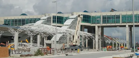
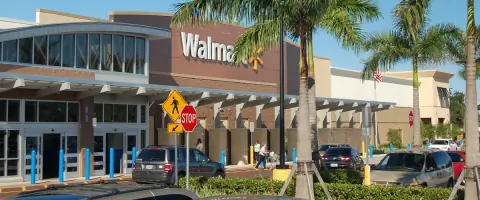
Yes, we serve major developers, airports, retail chains, and institutional clients including Miami International Airport, Walmart, and PGA National Golf Club.
What technology do you use?
We employ robotic total stations, GPS systems, and CAD software to ensure precise measurements and digital documentation for all surveying projects.
Are your surveys legally recognized?
All surveys meet Florida state requirements and ALTA/ACSM standards, with proper licensing and documentation to ensure legal validity and title company acceptance.