Business Details
2 Years
experience
Your Trusted Geospatial Partner in the Northeast
GdB Geospatial has been delivering quality, timely, and actionable geospatial data to infrastructure, property, and energy markets across the Northeast since 2024. Our team of licensed surveyors and geospatial experts specializes in advanced technologies like LiDAR, 3D laser scanning, and machine control to provide precise data solutions. We focus on empowering clients through innovative surveying, GIS, and remote sensing services tailored to complex infrastructure needs. Our recent partnership with SAM, a national leader in managed geospatial services, strengthens our ability to serve utility, transportation, and energy sectors. With offices in Melville, Rochester, and Hackensack, we combine local expertise with nationwide resources.Our commitment to technical excellence is reflected in our state-certified subsurface utility exploration and corridor mapping capabilities. We maintain active memberships in professional associations to ensure adherence to industry standards. Our mission centers on building strong teams, creating opportunities, and delivering client-centric solutions. The integration with SAM enhances our capacity to provide scalable, high-precision geospatial services. This strategic alignment ensures continued growth in delivering reliable data that drives infrastructure development across the Northeast.
Services
Survey and Mapping
GIS Services
Construction Surveying
LiDAR Scanning
Remote Sensing
Corridor Mapping
Subsurface Utility Exploration
Machine Control
3D Modeling
Details
- Year established: 2024
Highlights and features
- We offer licensed surveyors with state certifications in multiple jurisdictions
- Our team provides 3D laser scanning and LiDAR technology for precise data capture
- We implement machine control systems for construction survey accuracy
- Our subsurface utility exploration meets ASCE standards for infrastructure safety
- Our partnership with SAM ensures nationwide geospatial service scalability
Services
Survey and Mapping
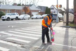
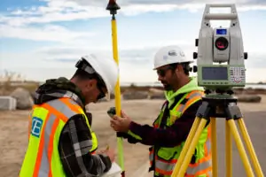
Our survey and mapping services provide precise boundary determinations and topographic data for infrastructure projects. Using advanced GPS and robotic equipment, we deliver accurate measurements for property development and construction planning. Our licensed surveyors ensure compliance with state-specific regulations across multiple jurisdictions.
LiDAR Scanning
LiDAR scanning captures detailed 3D representations of physical environments for engineering and construction applications. Our high-resolution point cloud data supports asset management and infrastructure modeling. This technology enables rapid data collection with millimeter-level accuracy for complex structures.
Subsurface Utility Exploration
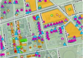
Subsurface utility exploration identifies underground utilities using electromagnetic detection and ground-penetrating radar. Our ASCE-certified SUE services prevent excavation damage and ensure safe infrastructure development. We provide utility mapping that meets quality level A through potholing verification.
Machine Control
Machine control systems guide heavy equipment with real-time GPS positioning for earthwork projects. Our solutions improve grading accuracy and reduce rework in transportation and utility construction. This technology optimizes material usage and project timelines for contractors.
Corridor Mapping
Corridor mapping creates detailed geospatial datasets for transportation and utility right-of-way projects. Using mobile LiDAR and photogrammetry, we generate 3D models of linear infrastructure. This service supports asset inventory and maintenance planning for roads and pipelines.
Questions
What geospatial services does GdB offer?
We provide surveying, GIS, LiDAR scanning, subsurface utility exploration, machine control, and corridor mapping services for infrastructure projects.
Which industries do you serve?
We specialize in infrastructure, property development, and energy markets across the Northeast United States.
Are your surveyors licensed?
Yes, our team includes licensed surveyors with certifications in multiple states.
What is subsurface utility exploration?
SUE locates underground utilities using non-destructive methods to prevent excavation damage and ensure project safety.
How does your partnership with SAM benefit clients?
The partnership expands our resources and capabilities in managed geospatial services nationwide.
Do you offer 3D modeling services?
Yes, we create 3D models from LiDAR data for engineering analysis and construction visualization.