
Business Details
50+ Years
experience
Your Trusted Land Surveying Partner in Greensboro, NC
Since 1954, Wilson Surveying has established itself as a trusted provider of professional land surveying services in Greensboro, NC. Our family-owned business combines decades of experience with cutting-edge technology to deliver precise boundary, topographical, and ALTA/ACSM surveys for residential and commercial clients. We specialize in mortgage surveys, wetland mapping, and property line re-establishment, serving communities across Alamance, Forsyth, and Guilford Counties.Our team of certified professionals maintains a legacy of accuracy, reliability, and client-focused service. We prioritize transparent communication and tailored solutions to meet each project's unique requirements. With expertise in both field data collection and CAD-based drafting, we ensure seamless execution from initial consultation to final deliverables. Our commitment to excellence has earned us recognition as a leading surveying firm in North Carolina's Piedmont region.
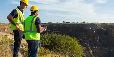

Services
Boundary Surveying
Mortgage Surveys
Topographical Mapping
ALTA/ACSM Surveys
Wetland Mapping
Details
- Year established: 1954
Highlights and features
- Family-owned legacy since 1954 with proven expertise
- Certified professionals in boundary and ALTA surveying
- State-of-the-art technology for precise measurements
- Comprehensive services from field to CAD deliverables
- Dedicated client support with transparent communication
Services
Boundary Surveying
Our boundary surveying service precisely establishes property lines using advanced geospatial technology. Residential and commercial clients rely on our expertise for legal documentation, land development, and dispute resolution. We follow strict ALTA/ACSM standards to ensure accuracy and compliance with local regulations.
Topographical Mapping
We create detailed topographical maps showing elevation changes, natural features, and man-made structures. This service supports construction planning, environmental assessments, and land management projects. Our surveyors use high-precision instruments to capture accurate terrain data for engineering and architectural applications.
Mortgage Surveys
Our mortgage surveys verify property boundaries and identify encroachments for real estate transactions. This essential service protects buyers, sellers, and lenders during property transfers. We deliver timely, accurate surveys that meet lending institution requirements and title insurance standards.
ALTA/ACSM Surveys
We conduct comprehensive ALTA/ACSM surveys meeting American Land Title Association standards for commercial property transactions. These detailed surveys identify easements, improvements, and zoning compliance issues. Our reports provide critical information for title insurance and property acquisition decisions.
Wetland Mapping
Our wetland mapping service identifies and documents jurisdictional wetlands for environmental compliance. This service supports land development projects requiring regulatory permits. We combine field data collection with GIS analysis to produce accurate wetland boundary determinations for conservation and construction planning.
Questions
What areas do you serve for land surveying?
We serve Greensboro, McLeansville, Colfax, Jamestown, and surrounding Piedmont areas including Alamance, Forsyth, and Guilford Counties in North Carolina.
What types of surveys do you specialize in?
We specialize in boundary surveys, topographical mapping, mortgage surveys, ALTA/ACSM surveys, and wetland mapping for residential and commercial properties.
Are your surveyors certified professionals?
Yes, our team includes experienced, certified land surveyors with expertise in field data collection, CAD drafting, and regulatory compliance for North Carolina properties.
What technology do you use for surveys?
We utilize state-of-the-art surveying equipment including total stations, GPS systems, and Carlson CAD software to ensure precise measurements and accurate digital deliverables.