
Business Details
Your Trusted Land Surveying Partner in Utica, OH
At Benchmark Land Surveying, we combine over 60 years of collective experience with cutting-edge technology to deliver precise and reliable land surveying solutions. Our team prioritizes client satisfaction by maintaining strict attention to detail, respecting project timelines, and working within budgetary constraints. We specialize in boundary retracement, commercial property surveys, and site planning for residential and commercial developments. Our commitment to quality ensures accurate property line determinations, topographic mapping, and easement documentation. With rapid response times and competitive pricing, we serve both individual property owners and large-scale developers across Central and Southern Ohio.Our professionals maintain open communication throughout every project phase, providing clear documentation and actionable insights. Whether handling lot splits, annexations, or complex ALTA surveys, we apply rigorous standards to every assignment. Our reputation for technical excellence and client-focused service has been built through consistent delivery of measurable results. We invest in continuous equipment upgrades to maintain industry-leading accuracy. Every project receives personalized attention from initial consultation through final deliverables.


Services
Boundary Retracement
Site Surveys
Lot Splits
ALTA Surveys
Site Plans
As-Built Surveys
House Staking
Annexations
Easements Surveys
Highlights and features
- We offer 60+ years of combined surveying experience
- We utilize state-of-the-art surveying equipment
- Our team provides competitive pricing with no hidden fees
- We guarantee timely project completion within specified deadlines
- Our surveyors maintain direct client communication throughout projects
What people say
Quick response
Competitive pricing
Professional and personable
Thorough survey
Corrected property line
Services
Boundary Retracement
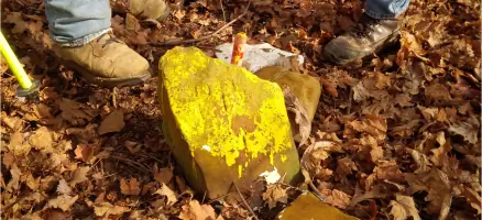
Our boundary retracement service precisely identifies property lines using advanced GPS technology and historical records. We deliver accurate corner pin placement and comprehensive documentation for fencing, construction, or property disputes. Clients receive detailed maps and legal descriptions meeting state surveying standards.
ALTA Surveys
We conduct ALTA/NSPS land title surveys meeting strict industry standards for commercial property transactions. Our surveys include easement verification, encroachment checks, and detailed improvements documentation. Clients receive surveyor's certifications required by title companies and lenders.
Site Plans
Our site planning service creates detailed development maps for residential and commercial construction. We incorporate topographic features, utility locations, and zoning requirements. Plans meet municipal approval standards for new buildings, driveways, and landscaping projects.
As-Built Surveys
We perform as-built surveys to verify construction alignment with approved plans. Our team documents existing structures, utilities, and improvements with millimeter-level accuracy. Clients receive detailed comparison reports for project closeout and regulatory compliance.
Easements Surveys
Our easement survey service identifies legal right-of-way boundaries and usage restrictions. We create detailed exhibits for property transactions and resolve access disputes. Clients receive clear documentation of utility easements and maintenance corridors.
Questions
What types of land surveying services do you offer?
We provide boundary retracement, ALTA surveys, site plans, as-built surveys, lot splits, annexations, easement documentation, and topographic mapping for residential and commercial properties.
Which areas do you serve?
We operate throughout Central and Southern Ohio, covering Clark, Delaware, Fairfield, Franklin, Greene, and 11 additional counties with flexible service options.
How quickly can you complete a property survey?
Typical turnaround time ranges from 9-15 days depending on project complexity, with emergency scheduling options available for urgent requirements.
What equipment do your surveyors use?
Our team utilizes state-of-the-art GPS and robotic total station technology to ensure maximum accuracy in boundary determination and property mapping.
How do you handle pricing for surveying projects?
We provide transparent, competitive pricing with no hidden fees, offering detailed quotes after reviewing property specifics and project requirements.