
Business Details
41 Years
experience
Professional Land Surveying Services in Franklin, NC
Founded in 1985, Smoky Mountain Land Surveying has served Western North Carolina for over 30 years, delivering precise boundary and construction surveying solutions. Our expertise spans property boundary analysis, topographic mapping, and GPS technology integration, supporting private landowners, public agencies, and design professionals. With a commitment to hands-on service, we prioritize client education and personalized attention, ensuring projects meet legal standards and client expectations.Our team combines decades of local experience with advanced tools like AutoCAD and survey-grade GPS to maintain accuracy across thousands of acres surveyed. We emphasize transparency in processes, from deed research to final plat preparation, fostering long-term client relationships built on reliability and technical excellence.
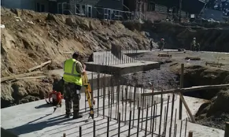
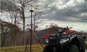
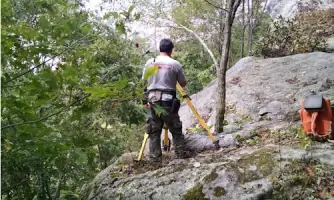
Services
Boundary Survey
Topographic Survey
Subdivision Survey
GPS Survey
ALTA/ACSM Survey
Foundation Survey
Location Survey
As-Built Survey
Construction Survey
Flood Elevation Certificates
Details
- Year established: 1985
Highlights and features
- We have over 30 years of experience surveying Western North Carolina's terrain.
- Our team uses GPS and AutoCAD for precise mapping and boundary analysis.
- We provide hands-on service with personalized client communication.
- We maintain long-term relationships with local attorneys and design professionals.
- Our surveys meet legal standards for property transactions and development.
What people say
Accurate boundary analysis
Experienced local team
Personalized attention
Reliable results
Timely completion
Services
Boundary Survey
A boundary survey establishes property lines using deed research and field measurements. We locate existing corners, replace missing markers, and map improvements like fences or buildings. This service ensures legal clarity for property transactions or development projects in Western North Carolina.
Topographic Survey
Topographic surveys detail natural and man-made features, including elevation contours and utilities. We use GPS and conventional equipment to create detailed maps for site development planning, helping architects and engineers design structures that align with terrain characteristics.
Subdivision Survey
Subdivision surveys divide parcels into smaller lots while complying with local zoning laws. We integrate boundary and topographic data to design road access and lot layouts, ensuring legal compliance and optimal land use for residential or commercial development.
GPS Survey
GPS surveys use satellite technology to establish precise geographic coordinates. We employ this method for control points on large projects, verifying results with traditional techniques to ensure accuracy in challenging terrains like Western North Carolina's wooded areas.
ALTA/ACSM Survey
ALTA/ACSM surveys meet national standards for commercial property transactions. These detailed maps show boundaries, easements, and improvements, providing lenders and title companies with comprehensive data to assess risks associated with large-scale real estate investments.
People
Ben West
Owner and President
With 38 years of experience, including 33 as a licensed Professional Surveyor in North Carolina, Ben West founded Smoky Mountain Land Surveying in 1985. He specializes in boundary analysis and deed research, combining technical expertise with hands-on fieldwork to ensure client satisfaction.
Floyd Ledford
Survey Crew Chief
Floyd Ledford has served as Survey Crew Chief since the company's founding. His 30+ years of field experience include boundary verification and construction stakeout. Floyd emphasizes precision and efficiency, often resolving terrain challenges through practical problem-solving during survey projects.
Questions
How do I choose a qualified surveyor?
Select a surveyor based on experience, local knowledge, and professional credentials. Look for recommendations and ensure they understand your project's specific requirements.
What factors affect survey costs?
Costs depend on parcel size, terrain complexity, existing documentation, and survey type. We provide tailored quotes after discussing your project's scope and requirements.
Why might I need a survey?
Surveys clarify property boundaries for purchases, resolve disputes, or support construction projects. Lenders often require them for financing to verify improvements align with property lines.
Do you use GPS technology?
Yes, we use GPS for control points on large projects but combine it with traditional methods to ensure accuracy in Western NC's challenging terrain.
How long is a survey valid?
A survey remains valid as long as boundary conditions remain unchanged. Lenders may require updated surveys for refinancing or resale after several years.
What deliverables do I receive?
You'll receive a recorded plat map showing boundaries, improvements, and measurements. This document provides legal documentation and reference for future property transactions.