
Business Details
19 Years
experience
Your Trusted Surveying Partner in Maumee, OH
Established in 2007, Garcia Surveyors has built a reputation for delivering precise and reliable surveying solutions. Our team of seven licensed surveyors, supported by advanced technology and decades of combined experience, operates across multiple states to meet diverse client needs. We prioritize client satisfaction through meticulous research, consistent data transmission, and dependable fieldwork.Our commitment to innovation ensures we leverage the latest tools in data collection, modeling, and communication to execute projects efficiently. With a focus on integrity and professionalism, we serve as an integral partner in land development, infrastructure projects, and specialized surveying requirements.
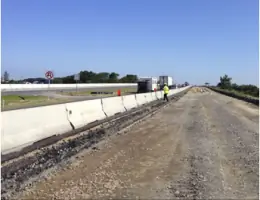
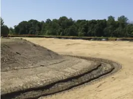
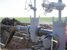
Services
UAV/Drone Aerial Surveys
P.E./A.I.A. Support
Layout Services
3D Scanning
GPS Site Calibration
ALTA Surveys
Environmental Surveys
Residential Surveys
Industrial Surveys
Transportation Surveys
Details
- Year established: 2007
Highlights and features
- We have over 15 years of experience in land surveying and pipeline projects.
- Our team utilizes state-of-the-art robotics, GPS, and CAD technology.
- Safety-certified with ISNetworld, PEC, and Avetta/PICS compliance.
- Responsive service with staffing depth to meet tight deadlines.
- Prequalified in OQ and Safety Compliance for pipeline surveying.
Associations and certifications
- MBE/EDGE
- Ohio Department of Transportation Disadvantaged Business Enterprise
- Indiana Department of Transportation Minority Business Enterprise
- Avetta/PICS Safety Auditing
- ISNetworld Safety Compliance
- Veriforce Compliance
What people say
Excellent work quality
Responsive to schedule deadlines
Depth in staffing
Competent professional services
Error-free materials
Services
UAV/Drone Aerial Surveys
Our UAV/drone services provide rapid, high-precision aerial photogrammetric measurements for inspection, planning, and modeling. Licensed pilots use advanced camera systems to survey hard-to-reach areas, ensuring accurate data for topographic, environmental, and as-built projects. This technology enhances efficiency and reduces field time for clients.
P.E./A.I.A. Support
We deliver specialized boundary, topographic, and control surveys to support architects, engineers, and developers. Our services include flood plain analysis, airspace monitoring, and legal descriptions, ensuring compliance with state and local regulations. Expertise in navigating complex zoning requirements guarantees reliable data for project foundations.
3D Scanning
Our 3D scanning creates fully surfaced point clouds and CAD models for architectural, mechanical, and historical preservation projects. This technology captures precise spatial data, enabling detailed design, construction, and documentation. Clients benefit from enhanced accuracy and reduced rework during complex engineering tasks.
Energy Surveying
We offer end-to-end pipeline surveying, from boundary and ROW calculations to weld mapping and line markers. Safety-certified crews use advanced pipe-tracking systems to ensure data integrity and compliance with OQ standards. Services include pre-construction planning, earthwork support, and post-construction as-builts for oil, gas, and utility projects.
Layout Services
Our layout services ensure precise staking and alignment for grading, utilities, and building foundations. Surveyors verify design coordinates against field conditions, minimizing errors in rough staking, underground utilities, and structural components. Clients receive accurate, on-time deliverables to maintain project schedules and budgets.
People
Anthony A. (Tony) Garcia
Principal, President
Tony Garcia founded Garcia Surveyors in 2007, leveraging decades of surveying experience to build a client-focused firm known for technical excellence and reliability.
Robert E. (Rob) Brazier
Principal & Manager of Roadway and Industrial Layout
Rob Brazier oversees roadway and industrial layout projects in Cleveland, ensuring precision and adherence to client specifications through advanced surveying techniques and team leadership.
Richard L. (Rich) Henry
Principal & Manager of Building Layout
Rich Henry specializes in building layout, directing complex staking projects that align with architectural and engineering plans while maintaining strict quality standards.
Daniel C. (Dan) Kaiser
Director of Surveys
Dan Kaiser leads survey operations, ensuring technical accuracy and compliance across diverse projects, from residential developments to industrial infrastructure.
Douglas M. (Doug) Kuypers
Columbus Regional Manager
Doug Kuypers manages Columbus-area projects, combining field expertise with client collaboration to deliver surveying solutions that meet regulatory and operational demands.
Questions
What surveying services do you offer?
We provide UAV/drone aerial surveys, pipeline surveys, 3D scanning, construction layout, boundary surveys, and support for engineering and architectural projects.
Are you certified for safety and compliance?
Yes, we are certified with ISNetworld, Avetta/PICS, and OQ-ready through Veriforce, ensuring adherence to industry safety standards.
Do you work outside Ohio?
We operate in Ohio, Indiana, Michigan, and Illinois, serving clients across diverse industries and regulatory environments.
How do you ensure survey accuracy?
We use state-of-the-art GPS, robotics, and laser scanning, combined with licensed surveyors' expertise, to guarantee precise data collection and analysis.
Can you handle large-scale infrastructure projects?
Yes, our team specializes in transportation, energy, and industrial projects, offering scalable solutions from planning to as-built documentation.