
Business Details
39 Years
experience
Your Trusted Land Surveyor for Accurate Results
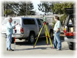
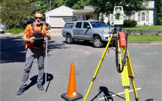
Van Neste Surveying has been delivering professional land surveying services since 1987, establishing a reputation for reliability and precision in our field. Our team of licensed surveyors and consultants is committed to providing efficient, client-focused solutions for projects ranging from lot surveys to large-scale developments. We prioritize direct involvement from licensed professionals throughout every project phase, ensuring accuracy and adherence to industry standards. With decades of combined experience, we maintain competitive pricing while upholding rigorous quality control measures.Our expertise spans boundary and topographic surveys, UAV mapping, ALTA/NSPS land title surveys, and specialized services like cemetery layouts and elevation certificates. Headquartered in Minneapolis, MN, we serve clients across the Twin Cities metro area, surrounding counties, and Michigan's Upper Peninsula. Our commitment to transparency, technical excellence, and community engagement drives our approach to every assignment.
Services
UAV Drone Mapping
ALTA/NSPS Land Title Surveys
Boundary Surveys
Topographic Surveys
Construction Staking
Elevation Certificates
Cemetery Layouts
Legal Descriptions
Preliminary Platting
Condominium Plats
Details
- Year established: 1987
Highlights and features
- We have over 33 years of experience in land surveying across Minnesota and Michigan
- Our licensed surveyors maintain direct involvement in every project from start to finish
- We offer competitive pricing without compromising technical accuracy or quality control
- Our FAA-licensed UAV operators provide advanced aerial mapping capabilities
- We maintain extensive knowledge of municipal requirements across multiple jurisdictions
Services
UAV Drone Mapping
Our FAA-licensed UAV operators provide high-resolution aerial mapping using orthophoto mosaics and 3D surface modeling. This technology supports volumetric analysis, topographic mapping, and promotional materials. Aerial overlays enhance traditional survey deliverables with visual context.
ALTA/NSPS Land Title Surveys
We conduct ALTA/NSPS standard surveys meeting title insurance requirements. These detailed boundary surveys identify encroachments and title issues for informed real estate decisions. Optional Table A requirements can be included per client specifications.
Boundary Surveys
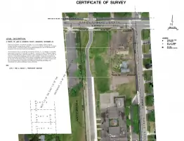
Our boundary surveys establish legal property lines through historical research and physical monumentation. We document discrepancies and provide clear graphical representations for lot divisions, fencing, or development projects.
Construction Staking
We translate construction plans into physical site markers for buildings, grading, and utilities. Our staking services ensure accurate implementation of design plans for projects of all scales.
Elevation Certificates
We prepare FEMA-compliant elevation certificates to determine flood zone status and insurance requirements. Our documentation supports flood map amendments and risk assessment for property owners.
People
Travis Van Neste
Licensed Surveyor
Travis Van Neste is a licensed professional surveyor in Minnesota and Michigan with extensive experience in boundary analysis, UAV mapping, and land development projects. He holds FAA certification for commercial drone operations.
Questions
What factors determine land survey costs?
Survey costs depend on property description type (platted vs. metes and bounds), required detail level, parcel size, terrain complexity, and documentation needs. We provide fixed-fee quotes after project evaluation.
How do I verify property corner markers?
Professional surveyors analyze monument relationships, type, and age to validate corner markers. Visual identification alone cannot confirm official property corners.
What distinguishes platted from unplatted property?
Platted properties use Lot/Block descriptions with established monuments, while unplatted properties use metes and bounds descriptions requiring more extensive boundary analysis.
How can I obtain my property's legal description?
Legal descriptions appear in deeds, title insurance policies, or property tax statements. We can help locate official records if needed.
Why might surveyors enter my property without notice?
Minnesota and Michigan statutes grant surveyors legal entry rights for boundary analysis. We attempt to notify owners and carefully restore any disturbed areas.