
Business Details
Your Trusted Land Surveying Experts in Somerdale, NJ
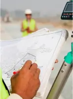
Donovan Surveyors has been serving landowners and developers in New Jersey for over five decades, delivering precise and reliable surveying data tailored to client needs. Our expertise spans general land surveying, mortgage, title, topographic, flood, and construction surveying, with a commitment to thoroughness and accuracy. As a state-licensed firm affiliated with the New Jersey Society of Professional Land Surveyors (NJSPLS) and the Surveyors Association of West Jersey (SAWJ), we combine advanced technology with deep local knowledge to meet regulatory and project-specific requirements.Our team prioritizes expeditious service without compromising detail, supporting residential, commercial, and municipal clients across a 60-mile radius from Somerdale, NJ. With decades of hands-on experience, we provide legally sound boundary determinations, elevation certifications, and site analysis critical for development, insurance, and legal compliance.
Services
Boundary Surveys
Topographic Surveying
Mortgage Surveys
Flood Elevation Certificates
Building Permit Surveys
Construction Surveying
Property Line Surveys
Site Surveys
Land Grading Surveys
Fence Surveys
Highlights and features
- We have over 50 years of professional surveying experience in New Jersey.
- Our team is state-licensed with affiliations to NJSPLS and SAWJ.
- We offer locally tailored knowledge of Somerdale's zoning and terrain.
- Our services meet all municipal and state permitting requirements.
- We provide fast turnaround times without sacrificing accuracy.
Associations and certifications
- New Jersey Society of Professional Land Surveyors (NJSPLS)
- Surveyors Association of West Jersey (SAWJ)
What people say
Highly recommended
Very happy
Easy to work with
Quickly and reasonably priced
Fair pricing
Services
Boundary Surveys
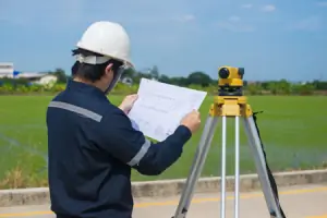
Our boundary surveys establish legal property lines using deed research and on-site measurements. This service prevents disputes during fence installation, home additions, or land sales. Clients receive marked boundaries and documentation accepted for permits and legal records.
Topographic Surveying
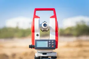
Topographic surveys map elevation changes and natural/ man-made features. This data supports construction planning, drainage design, and utility placement. We use GPS and total stations to create detailed contour maps for engineers and architects.
Flood Elevation Certificates
We determine floodplain status and issue elevation certificates required for insurance and development. This service helps clients assess flood risks and comply with FEMA regulations for properties in high-risk zones.
Building Permit Surveys
Our permit surveys meet Somerdale's zoning requirements for decks, fences, and additions. Surveys include setbacks, structure locations, and boundary compliance to ensure approval by municipal boards.
Mortgage Surveys
Mortgage surveys verify property boundaries and improvements for real estate transactions. This service satisfies lender requirements and identifies encroachments that could affect title insurance or property transfers.
Questions
Do I need a survey for a fence permit?
Yes, a boundary survey ensures your fence complies with zoning setbacks and prevents neighbor disputes.
How long does a residential survey take?
Most surveys take 7-10 business days, with rush options available for urgent needs.
Are your surveys accepted for permits?
Yes, our surveys meet all local and state requirements for zoning and construction permits.
What's the difference between boundary and topographic surveys?
Boundary surveys define property lines, while topographic surveys map elevation and terrain features.
Do you survey wooded land?
Yes, our equipment handles challenging terrain including wooded or sloped properties.