
Business Details
34 Years
experience
Trusted Civil Engineering and Land Survey Services in Stanford, KY
Established in 1992, AGE Engineering has built a reputation for delivering precise civil engineering and land surveying solutions. Our team of 33 professionals includes 7 licensed Civil Engineers, 5 licensed Surveyors, and 3 Engineering Interns, all dedicated to applying sound engineering principles to meet client objectives. We specialize in advanced technologies like LiDAR UAVs and Trimble software for 3D modeling, serving diverse sectors including municipal infrastructure, transportation, and utility projects across Kentucky, Virginia, West Virginia, and Tennessee.Our focus on cost-effective, maintainable solutions ensures compliance with regulatory standards while preserving environmental and cultural resources. With over 600 machine control models completed, we combine technical expertise with a commitment to long-term client relationships.
Services
Aerial Surveying
Civil Engineering
3D Site Modeling
Land Surveying
Stormwater Management
Highway Design
Municipal Engineering
Bathymetric Surveys
Details
- Year established: 1992
Highlights and features
- We have over 30 years of experience in civil engineering and land surveying.
- Our team includes 7 licensed Civil Engineers and 5 licensed Surveyors.
- We utilize advanced LiDAR UAV technology for precise data collection.
- We offer 3D site modeling for efficient construction projects.
- We serve multiple states including Kentucky, Virginia, and Tennessee.
Services
Aerial Surveying
Our Aerial Surveying service uses LiDAR-equipped UAVs to collect 3D point cloud data for infrastructure and land development projects. This technology enables precise topographic mapping and classification for engineering applications. Clients benefit from faster data acquisition and reduced field time for complex sites.
Civil Engineering
We provide comprehensive civil engineering solutions including roadway design, stormwater management, and municipal infrastructure planning. Our approach balances cost-effectiveness with regulatory compliance for sustainable projects. Clients receive site-specific designs that meet federal, state, and local requirements.
3D Site Modeling
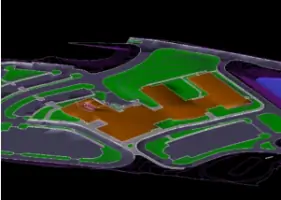
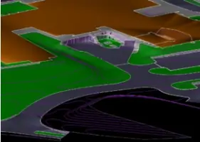
Our 3D site modeling service creates machine-control-ready models for construction projects using Trimble software. This ensures precision in highway, pipeline, and site development projects. Clients achieve improved construction efficiency and reduced rework through our accurate digital representations.
Land Surveying
We offer full-spectrum land surveying services including boundary, topographic, and ALTA/ACSM surveys for utilities and infrastructure projects. Our expertise supports accurate project planning and legal documentation. Clients gain reliable data for engineering designs and property management.
Stormwater Management
Our stormwater management solutions include pollution prevention plans, detention basin design, and stream crossing permits. We ensure compliance with environmental regulations while protecting water quality. Clients receive tailored systems that manage runoff effectively for municipal and development projects.
Questions
What civil engineering services do you offer?
We provide roadway design, stormwater management, municipal infrastructure planning, and site development services tailored to meet regulatory and client requirements.
Do you provide land surveying services outside Kentucky?
Yes, we offer surveying services across Kentucky, Virginia, West Virginia, and Tennessee with licensed professionals in all these states.
What technology do you use for surveying projects?
We utilize LiDAR UAVs and Trimble software for 3D modeling to ensure precise data collection and efficient construction project execution.
How long have you been in business?
We have provided civil engineering and land surveying services since 1992, with over 30 years of industry experience.
Can you handle large-scale infrastructure projects?
Yes, our team has completed over 600 machine control models and specializes in highway, pipeline, and municipal projects of various scales.
Videos