Business Details
Civil Engineering & Land Surveying Experts in Fort Wayne
Engineering Vision has served Northeast Indiana for over three decades, delivering trusted civil engineering and land surveying solutions. Our expertise in storm water drainage, boundary surveys, and construction planning has made us a preferred partner for contractors, developers, and government agencies. Utilizing cutting-edge technology like GPS and drone imaging, we ensure precision in every project, from residential developments to large-scale commercial infrastructure. Our team's deep local knowledge and commitment to quality have solidified our reputation as a leader in the field. We pride ourselves on providing straightforward, reliable advice, setting us apart in an industry increasingly hesitant to offer definitive guidance.With decades of combined experience, our engineers have completed thousands of projects, including flood control studies, utility master plans, and complex land development designs. Our in-house capabilities eliminate the need for outsourcing, ensuring seamless execution from concept to completion. Clients ranging from homeowners to major developers rely on our technical expertise and dedication to solving complex challenges efficiently and cost-effectively.

Services
Civil Engineering
Land Surveying
Storm Water Drainage
Boundary Surveys
ALTA Surveys
Floodplain Studies
Utility Master Plans
Construction Inspections
Topographic Mapping
Drainage Solutions
Highlights and features
- 30+ years of engineering and surveying experience in Northeast Indiana
- In-house services eliminate outsourcing for faster project completion
- Provide clear, actionable engineering guidance unlike hesitant competitors
- Team has completed 9,000+ residential lots and 60+ commercial developments
- Utilize GPS, drones, and advanced technology for survey accuracy
Services
Civil Engineering
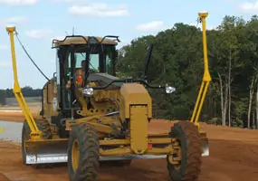
Engineering Vision provides comprehensive civil engineering services for land development projects. Our team designs grading plans, utility systems, and infrastructure solutions that meet regulatory requirements while optimizing site functionality. With expertise in municipal engineering and construction management, we ensure projects comply with local codes and environmental standards.
Land Surveying
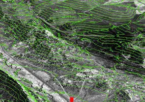
Our land surveying division utilizes GPS and drone technology to deliver precise boundary, topographic, and ALTA surveys. We provide accurate data for property transactions, development planning, and construction layout. Our surveyors have completed projects ranging from small residential lots to large commercial developments.
Storm Water Drainage
Specializing in storm water management solutions, we design drainage systems that prevent flooding and erosion. Our engineers create detention basins, storm sewer networks, and sustainable water management plans tailored to site-specific conditions and regulatory requirements.
Boundary Surveys
We conduct detailed boundary surveys to resolve property line disputes and establish legal land descriptions. Our surveyors research historical records and use advanced equipment to accurately mark property corners and easement locations.
Floodplain Studies
Our floodplain analysis services identify flood risks and develop mitigation strategies. We create FEMA-compliant floodplain maps and design elevation solutions to protect properties from water damage while ensuring regulatory compliance.
People
Mark L. Strong
President
With experience across 42 Indiana counties, Mark has designed over 20 miles of regulated drains and managed infrastructure projects for Fort Wayne's 20-year master plan. He specializes in large-scale site development and flood control engineering.
Tod A. Mohr
Project Manager
Tod has managed over 30 projects including commercial developments and utility master plans. His expertise includes boundary surveys, storm drain investigations, and utility mapping for complex land development projects in Northeast Indiana.
Questions
What civil engineering services do you offer?
We provide site design, utility master plans, storm sewer systems, and construction management for residential, commercial, and municipal projects.
Do you handle land surveying projects?
Yes, we offer boundary surveys, topographic mapping, ALTA surveys, and construction staking using GPS and drone technology.
How experienced is your team?
Our engineers have 30+ years of combined experience completing 9,000+ residential lots, 60+ commercial sites, and major infrastructure projects.
Can you assist with floodplain issues?
We conduct flood studies, create FEMA-compliant maps, and design elevation solutions to mitigate flood risks for residential and industrial properties.
What technology do you use?
We utilize GPS systems, drone imaging, and remote surveying instruments to ensure precise data collection and project execution.