Business Details
18 Years
experience
Professional Land Surveying & Civil Engineering Services in Choteau, MT
Founded in 2008, Morris Land Surveys has established itself as a trusted provider of land surveying and civil engineering solutions in Montana. Our team of licensed professionals combines decades of experience with cutting-edge technology to deliver precise, reliable results for boundary surveys, construction staking, and development projects. We prioritize client collaboration, tailoring our approach to meet specific project requirements while maintaining rigorous quality standards. With expertise in federal land surveying, floodplain management, and municipal permitting, we serve residential, commercial, and public sector clients across North Central Montana.Our commitment to professional growth ensures staff remain proficient in evolving surveying methodologies and regulatory frameworks. By integrating geographic information systems with traditional surveying practices, we provide comprehensive data solutions that support informed land-use decisions. Our leadership actively contributes to industry associations, shaping best practices while maintaining deep community ties through local civic engagement.
Services
Land Surveying
Civil Engineering
Development Consulting
GIS Mapping
Construction Inspection
Details
- Year established: 2008
Highlights and features
- We offer 15+ years of Montana land surveying expertise
- Our team holds multiple state surveying licenses and federal credentials
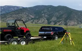
- We utilize modern equipment for accurate geospatial data collection
- We provide full-service solutions from boundary research to construction staking
- Our professionals actively shape industry standards through association leadership
Services
Land Surveying
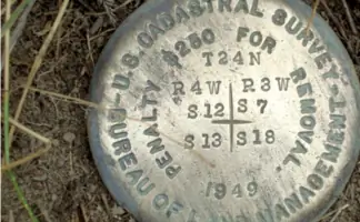
Our land surveying services encompass boundary determination, title research, and Public Land Survey System analysis. We conduct precise measurements for property subdivisions, easements, and legal descriptions using GPS and total station technology. Clients receive certified survey maps and documentation compliant with Montana regulatory standards.
Civil Engineering
Civil engineering solutions include municipal infrastructure planning, stormwater management systems, and roadway design. Our licensed engineers develop cost-effective designs for water distribution, wastewater treatment, and site development projects while ensuring regulatory compliance for public and private clients.
Development Consulting
Development consulting guides clients through land use regulations, zoning requirements, and permitting processes. We prepare subdivision plats, environmental assessments, and floodplain analyses to facilitate approvals from local governments and federal agencies for residential and commercial developments.
GIS Mapping
GIS mapping services integrate survey data with spatial analysis for land management applications. We create digital terrain models, floodplain maps, and parcel databases that support infrastructure planning, environmental studies, and municipal record-keeping using advanced mapping software.
Construction Inspection
Construction inspection ensures accurate implementation of survey data during development projects. Our team verifies site grading, utility installation, and structural layout through field observations and measurements, maintaining alignment with approved plans and engineering specifications.
People
Matt Morris
Professional Land Surveyor
Licensed surveyor with 15+ years experience, specializing in boundary surveys and federal land projects. Holds certifications in Montana, Idaho, and Wyoming while leading industry association initiatives.
Mark Larson
Professional Land Surveyor
Dual-licensed surveyor and engineer intern with expertise in land subdivisions and construction staking. Active in Montana surveying associations and local community organizations.
Cotton D. Jones
Professional Land Surveyor
Certified federal land surveyor with multi-state licensing, specializing in boundary research and public land systems. Industry association leader with 25+ years of field experience across the western United States.
Ryan Casne
Professional Engineer
Licensed civil engineer focusing on water and wastewater infrastructure design. Provides engineering oversight for development projects while maintaining professional affiliations in Montana and Washington.
Sandor Hopkins
Certified Floodplain Manager
Floodplain management specialist with planning expertise in land development regulations. Certified by the Association of State Floodplain Managers and active in municipal planning initiatives.
Questions
What geographic areas do you serve?
We primarily serve Choteau and North Central Montana, with licensed professionals capable of working across multiple western states for federal land projects.
What surveying services do you offer?
Our services include boundary surveys, construction staking, federal land surveys, floodplain mapping, and GIS data integration for residential, commercial, and public infrastructure projects.
Are your professionals licensed?
Yes, our team includes licensed Professional Land Surveyors in Montana, Idaho, Wyoming, and other western states, along with Certified Federal Land Surveyors and Professional Engineers.
How do you handle complex development projects?
We provide end-to-end support from initial boundary research through permitting and construction inspection, ensuring compliance with local regulations and engineering standards.
Can you assist with floodplain management?
Yes, we offer floodplain mapping, FEMA compliance assessments, and mitigation planning services performed by our Certified Floodplain Manager and civil engineering team.
What civil engineering services are available?
Our civil engineering division designs water distribution systems, wastewater treatment facilities, stormwater management solutions, and roadway infrastructure for municipal and private clients.