
Business Details
22 Years
experience
Professional Land Surveying Services Lincoln, NE
Husker Surveying has served Lincoln and surrounding communities since 2004, delivering precise surveying solutions for projects of all sizes. Our team operates two field crews to ensure efficient and accurate completion of cadastral, topographic, and construction-related surveys. Owner Jayme Malone, a licensed surveyor since 1986, brings over 39 years of expertise across Nebraska, Kansas, Missouri, Iowa, and Wisconsin. We specialize in boundary determinations, elevation certifications, and ALTA-compliant commercial surveys while maintaining strict adherence to federal and state regulatory standards. Our services support residential property owners, commercial developers, and telecommunications companies requiring FAA-compliant tower site assessments.Through consistent application of advanced geospatial technologies and traditional land measurement principles, we provide legally defensible documentation for property transactions, development projects, and floodplain determinations. Our commitment to technical excellence is demonstrated through detailed topographic mapping, subdivision plats, and construction staking services that meet exacting engineering specifications. With decades of localized experience and multi-state licensing capabilities, we address complex land measurement challenges across diverse terrain and regulatory environments.

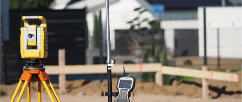
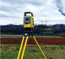
Services
Legal Lot Survey
Legal Location Survey
Construction Staking
Subdivisions/Final Plats
Elevation Certificates
Boundary Survey
Section Splits
Tower Surveying
ALTA Surveys
Topographic Survey
Details
- Year established: 2004
Highlights and features
- Owner-operated since 2004 with continuous service in Lincoln
- Licensed surveyor with 39+ years of professional experience
- Multi-state licensing across five Midwestern jurisdictions
- Dual field crews ensure timely project completion
- Specialized FAA-compliant tower survey capabilities
Services
Legal Lot Survey
This survey precisely locates property pins and verifies boundary lines using original plats and recorded surveys. It provides legally recognized measurements accurate to the hundredth of a foot. The service supports property transactions, fence installations, and land dispute resolutions without including improvements.
Topographic Survey
We create detailed maps showing natural and man-made features including elevation contours, buildings, utilities, and vegetation. These surveys serve as base maps for construction planning, drainage analysis, and site development projects requiring precise terrain representation.
Construction Staking
Our team establishes precise reference points for building foundations, roadways, and infrastructure projects. Using digital plans and GPS technology, we ensure accurate placement of improvements according to engineering specifications and zoning requirements.
ALTA Survey
This comprehensive service meets American Land Title Association standards for commercial property transactions. It includes boundary verification, easement locations, zoning setbacks, and all site improvements to satisfy lender and title insurance requirements for business properties.
Tower Surveying
We provide FAA-compliant surveys for cellular tower locations, including latitude/longitude determination, elevation measurements, and lease area staking. The service supports telecommunications infrastructure development and regulatory compliance requirements for new and existing tower sites.
People
Jayme Malone
Owner & Licensed Surveyor
Registered Land Surveyor with 39+ years experience, licensed in five states since 1986. Specializes in boundary resolution, construction surveying, and multi-state project coordination while maintaining active field involvement.
Questions
What types of surveying services do you offer?
We provide boundary surveys, topographic mapping, construction staking, ALTA/ACSM commercial surveys, elevation certificates, tower site assessments, and subdivision plats.
Are your surveyors licensed in multiple states?
Yes, our lead surveyor maintains active licenses in Nebraska, Kansas, Missouri, Iowa, and Wisconsin for multi-jurisdictional project capabilities.
How long does a typical residential survey take?
Most residential boundary surveys complete within 1-3 business days depending on property size and existing monumentation conditions.
Do you handle commercial development surveys?
Yes, we perform ALTA/ACSM standards surveys, site development staking, and utility infrastructure mapping for commercial properties.
Can you perform FEMA elevation certifications?
We conduct elevation surveys and Letter of Map Amendment preparations to support flood insurance requirements and floodplain determinations.